Road signs: Indication signs
173 road signs in the "Indication signs" category: meaning and picture of each Belgian sign.
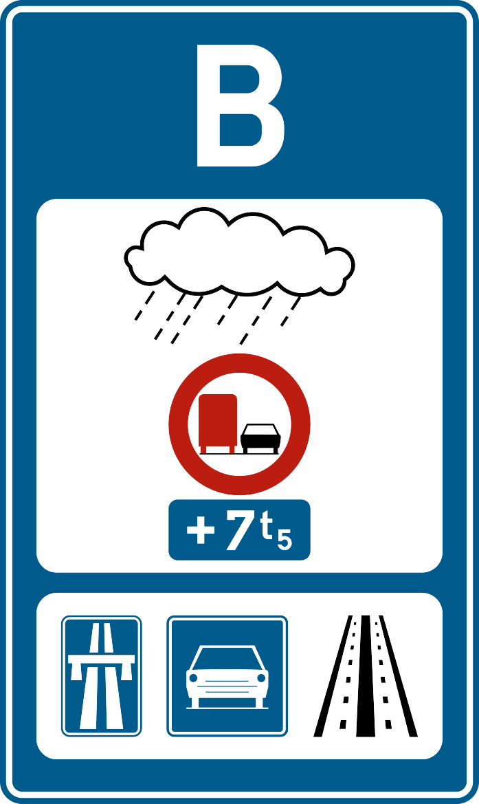 Bad Weather
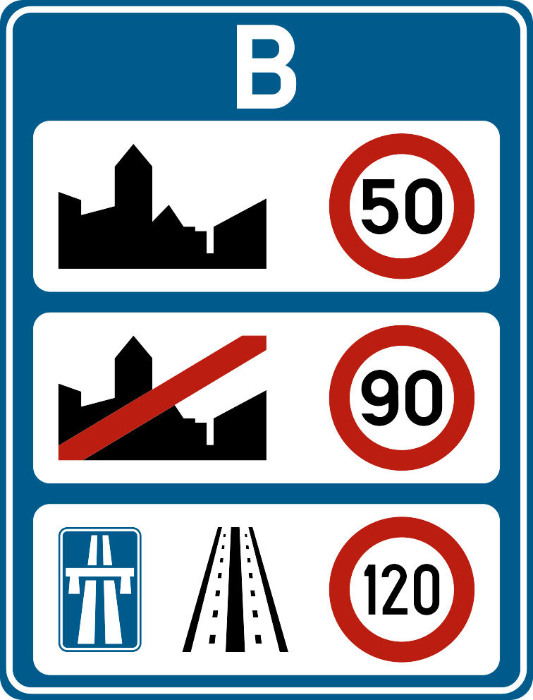 Belgium Borders (Speed Limits)
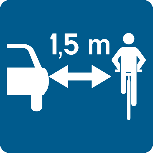 Bicycle Passing Distance (1m / 1.50m)
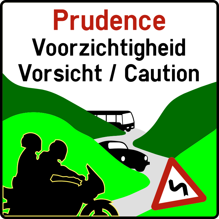 Caution with motorcyclists
 Crossing with a reserved path
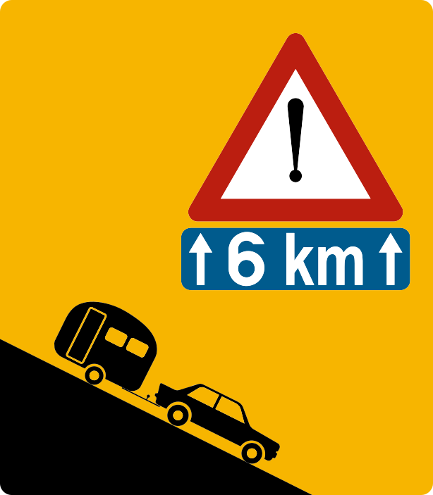 Dangerous slope
 European Border
 F101a: End of path reserved for pedestrians, cyclists, riders and speed…
 F101b: End of shared path with indication of areas assigned to each user (end…
 F101c: End of path reserved for agricultural vehicles, pedestrians, cyclists…
 F103: Beginning of a pedestrian zone
 F105: End of a pedestrian zone
 F11: End of motorway
 F111: Cycle zone (cycle street)
 F113: End of a cycle lane
 F117: Beginning of a Low Emission Zone (LEZ)
 F118: End of a low emission zone (LEZ)
 F119: Beginning of an airport zone
 F120: End of an airport zone
 F12a: Beginning of a residential zone or meeting zone
 F12b: End of a residential zone or meeting zone
 F13: Signal announcing road markings with arrows and prescribing the choice…
 F14: Advanced zone for cyclists and two-wheeled moped riders (bike SAS)
 F15: Mandatory direction sign
 F17: Indication of traffic lanes with one reserved for buses
 F18: Indication of a special site passable and reserved for regular public…
 F19: One-way street
 F1a: Beginning of a built-up area
 F1b: Beginning of built-up area (alternative format)
 F21: Passage authorised to the right or left of an obstacle
 F23a: Number of an ordinary road
 F23b: Motorway number
 F23c: Number of an international road (E)
 F23d: Number of a ring road
 F25: Advance notice sign
 F27: Advance direction sign (variant)
 F29: Directional sign
 F31: Directional sign
 F33a: Directional sign
 F33b: Directional sign at a distance
 F33c: Advance direction sign
 F34a: Directional sign near public facilities or establishments of general…
 F34b1: Directional sign
 F34b2: Directional sign
 F34c1: Directional sign
 F34c2: Directional sign
 F35: Directional sign
 F37: Directional sign
 F39: Advance warning sign announcing a detour
 F3a: End of built-up area
 F3b: End of built-up area (alternative format)
 F41: Directional sign
 F43: Locality sign
 F45: Dead end street
 F45b: Dead end, except for pedestrians and cyclists
 F47: End of works
 F49: Pedestrian crossing
 F4a: Beginning of a 30 km/h limited zone
 F4b: End of a 30 km/h limited zone
 F5: Beginning of a motorway or access to a motorway
 F50: Crossing for cyclists and two-wheeled moped riders
 F50bis: Sign indicating to drivers changing direction that cyclists and moped…
 F51 A
 F51 B
 F52: Indication of an emergency exit in tunnels
 F52bis: Emergency exit route
 F53: Healthcare facility
 F55: First Aid Post
 F56: Fire extinguisher
 F57: Watercourse
 F59: Announcement of a car park
 F60: Announcement of a covered car park
 F61: Telephone
 F62: Emergency call telephone
 F63: Service station
 F65: Hotel or motel
 F67: Restaurant
 F69: Beverage service (café)
 F7: End of motorway
 F71: Camping site
 F73: Camping site (caravan variant)
 F75: Youth hostel
 F77: Tourist information office, tourist information relay
 F79: Advance warning sign announcing a reduction in the number of traffic lanes
 F8: Tunnel
 F81: Advance warning sign announcing a detour
 F83: Advance warning sign indicating a crossing of the central reservation
 F85: Two-way traffic permitted on a one-way road section
 F87: Raised device(s)
 F89: Advance warning signal announcing a hazard or regulation specific to…
 F9: Motorway for automobiles
 F91: Signal indicating a danger or prescribing a regulation that applies…
 F93: Radio station broadcasting traffic information
 F95: Emergency escape lane
 F97: Road narrowing equivalent to one traffic lane
 F98: Garage
 F99a: Beginning of a path or section of public road reserved for pedestrians…
 F99b: Beginning of path reserved for pedestrians, cyclists, horse riders and…
 F99c: Beginning of path reserved for agricultural vehicles, pedestrians…
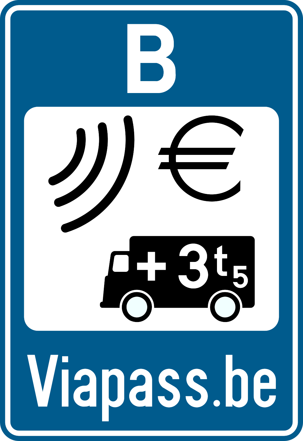 Kilometre-based levy (Viapass)
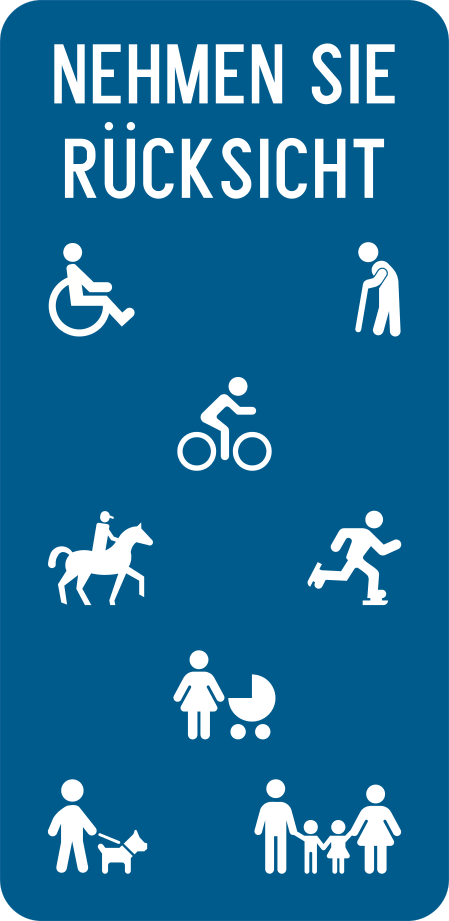 Let's Be Courteous
 Main stop
 Motorway exit
 Picto 1 - Secured truck parking
 Picto 10 - Games
 Picto 11 - Viewpoint
 Picto 2 - Hotel
 Picto 3 - Petrol Station
 Picto 4 - Shop
 Picto 5 - Restaurant
 Picto 6 - Self-service restaurant
 Picto 7 - Picnic Area
 Picto 8 - Toilets
 Picto 9 - Tourist Information (RIS)
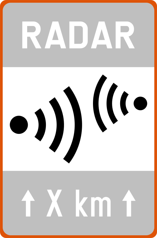 Risk Zone Radar
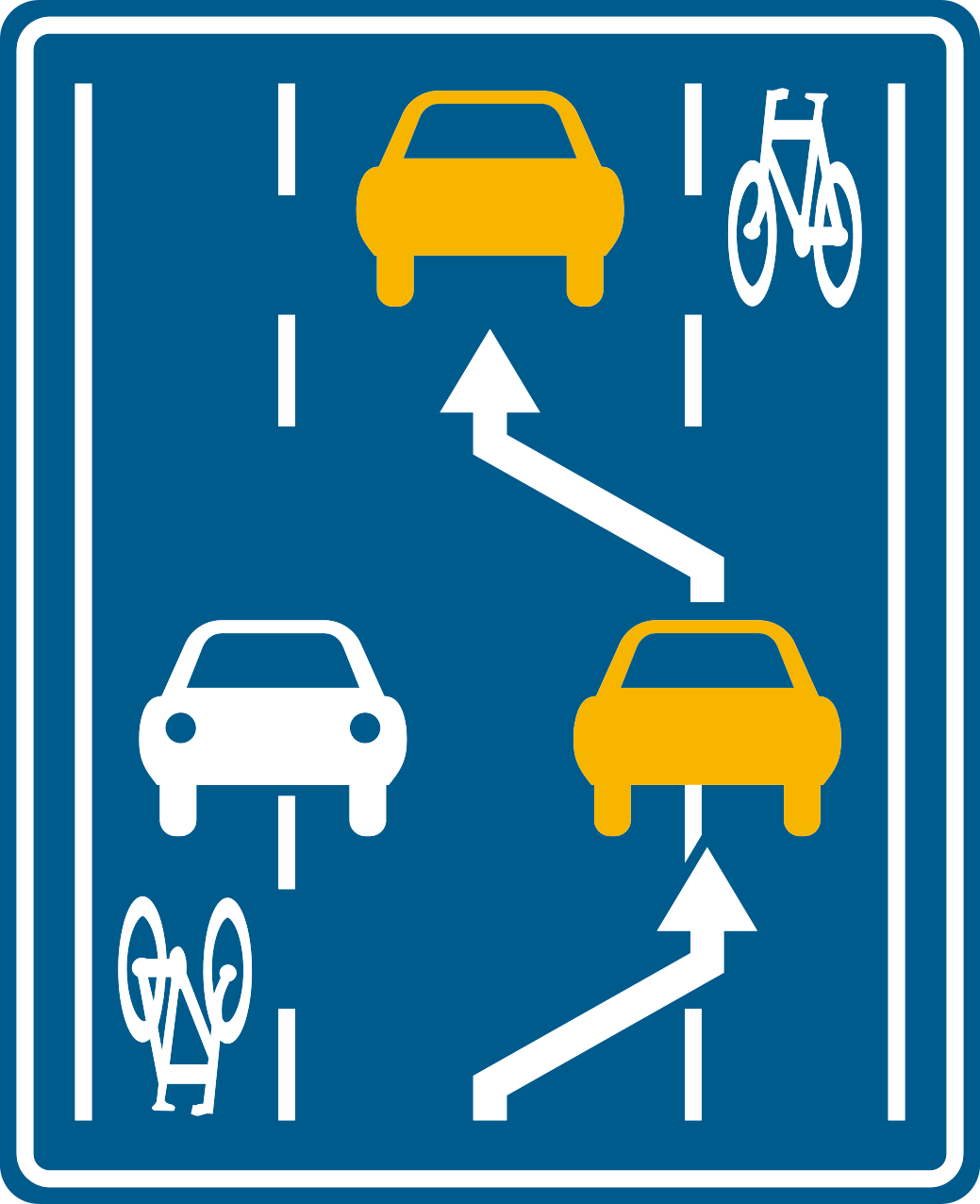 Roadway with shared central lane
 S1: Airport
 S10: Police service
 S11: Fire Station
 S12: Civil Protection
 S13: Cemetery
 S14: Bus station
 S15: Railway station
 S16: Coach station
 S17: Town hall or municipal building
 S18: Place of worship
 S19: Courthouse
 S2: Exhibition or trade fair hall
 S20: Car-sleeper train
 S21: Post office
 S3: Port
 S30: Sports centre, stadium, multipurpose hall
 S31: Castle
 S32: Ruins
 S33: Monastery, abbey
 S34: Cultural, leisure or amusement park
 S35: Monument and remarkable site
 S36: Natural park
 S4: Car ferry
 S5: Business park and industrial zone
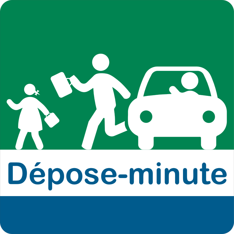 Short-term drop-off zone
 Smiley thank you construction site
 Speed Radar
 Type I Marker
 Type II Beacon
 Type III Beacon
 Type V Marker
 X1: Construction site beacon (yellow)
 X2: Construction site marker (yellow)
 X3: Construction site beacon (yellow)
 ZC21 - Beginning
 ZC21 - End
 ZC21 T - Beginning
 ZC21 T - End
 ZC35 - Beginning
 ZC35 T
 ZC35 Tm
 ZC43 50 km/h
 ZC45 50 km/h
 ZC5 - Beginning
 ZC5 - End
 ZE1 - End
 ZE1 - Start
 ZE1 Scooters
 ZE1 T - Beginning
 ZE1 T - End
 ZE9 a/b - Except Residents
 ZE9a - Beginning
 ZE9a - End
 ZE9b - Beginning
 ZE9b - End
 ZE9b T - Beginning
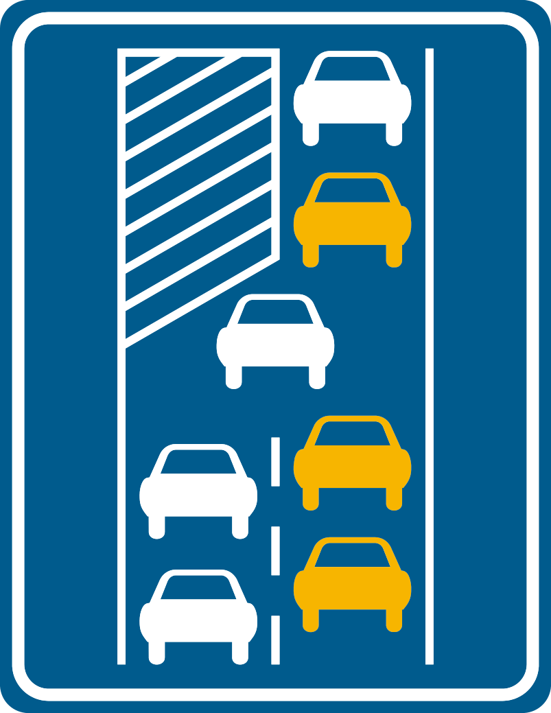 Zipper Merge